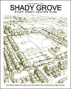
Shady Grove Staff Draft Sector Plan
September 2003 Menu
Menu
Details of Publication
Introduction
Description of Sector Plan Area
Vision
Land Use and Urban Design
Area-Wide Elements
Implementation
List of Illustrations
Tables
Details of Publication (pdf, 728KB)
Introduction (pdf, 264KB)
Within the I-270 Corridor
- Context
- Planning History
Description of the Sector Plan Area (pdf, 140KB)
Existing Land Use
Demographics
- Housing and Households
Employment and Retail Uses
Planning Policies
Vision (pdf, 719KB)
Goals
Plan Policies
Land Use and Urban Design (pdf, 2.68MB)
Overview
Derwood Communities
Shady Grove Road Technology
Corridor
- Metro Neighborhoods
- Metro West
- Metro South
- Metro North
- Metro East/Old Derwood
- Industrial Core
Buffer Area
Sites North of Shady Grove Road
Jeremiah Park
Office Industrial Park
MD 355 Corridor
Oakmont Industrial Park
Special Exception Guidelines
Area-wide
Elements (pdf, 3.16MB)
Housing
Transportation
Public Facilities
Environment
Implementation (pdf, 811KB)
Staging
Funding Mechanisms
Zoning Plan
Guidelines for Regulatory Planning and Review
List
of Illustrations
Wedges and Corridors
Existing Land Use
Vacant and Potentially Redevelopable Properties
Land Use Vision
Transit and Pedestrian-Oriented Principles
Park Network
Districts and Corridors
Derwood Community
Residential Communities
Shady Grove Road Technology Corridor
View of Shady Grove Road Technology Corridor
Metro Neighborhoods
View of Town Square
View of Redland Road
View of the Promenade
View of Metro Station – East Side
Metro Neighborhoods Illustrative Concept
Buffer Area
View of Jeremiah Park
View of MD 355 Looking South
Proposed Land Use
Diverse Housing Types
Roadway Network
Transit Improvements
Pedestrian Network
Existing and Proposed Bikeways
Proposed Roadway Network
Commercial Business Streets for Metro Neighborhoods
Streetscape Plan
Proposed Cross Sections
Existing and Proposed Public Facilities
Park, Trail, and Open Space Concept
Existing and Proposed Parks and Open Space
Urban Park Network
Recreation Opportunities
Watersheds
Environmental Protection and Restoration Concept
Existing Zoning
Proposed Zoning
List of Tables
Shady Grove/Derwood Population by Race and Ethnicity
Shady Grove/Derwood Multi-Family Housing
Bikeway Classifications
Street and Highway Classifications
Staging Sequence
Proposed Zoning