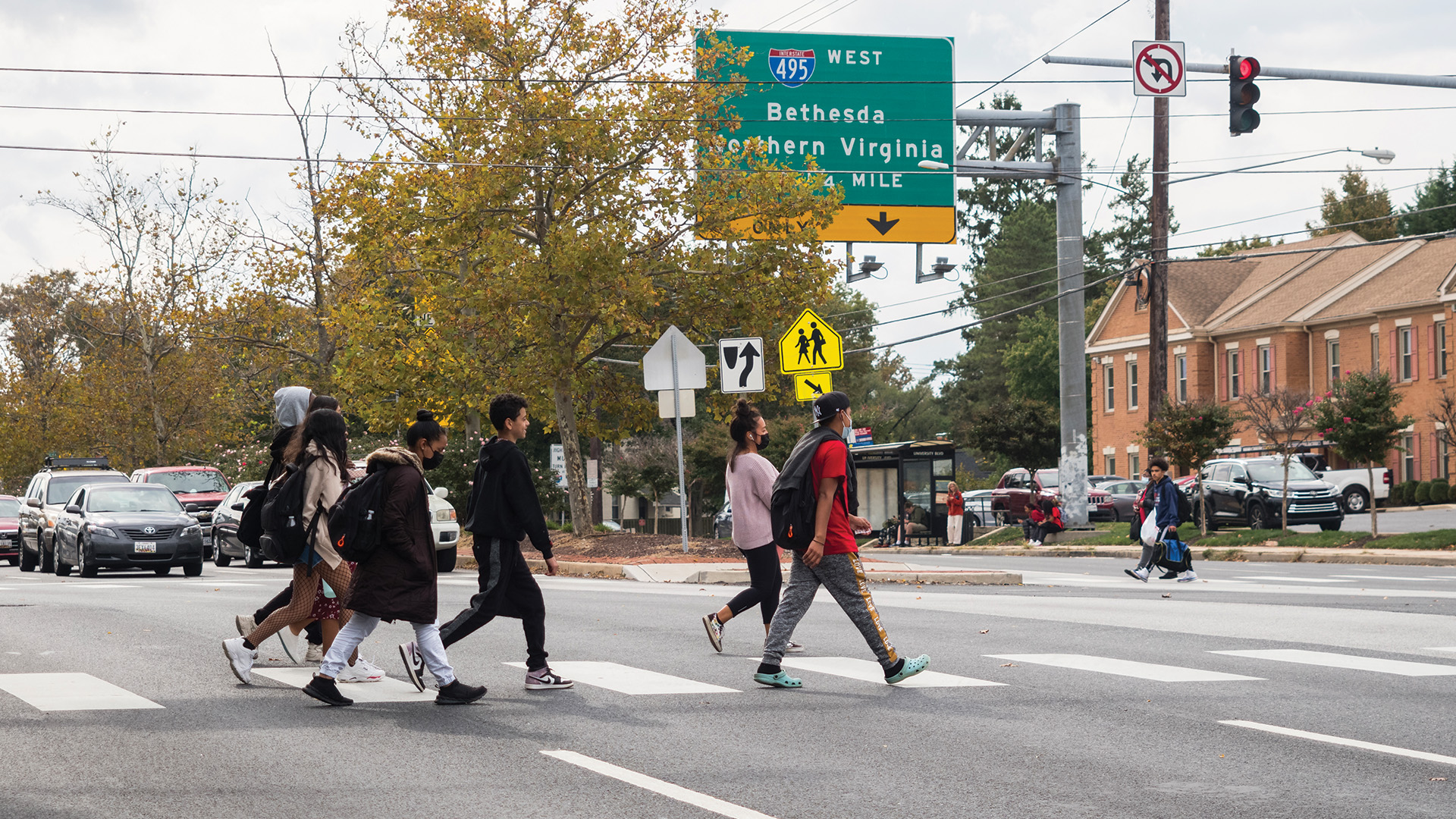
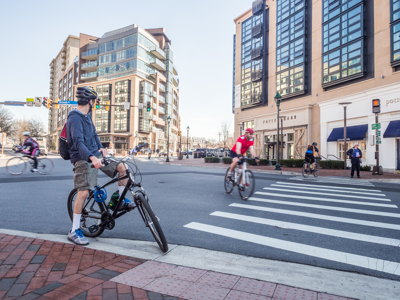
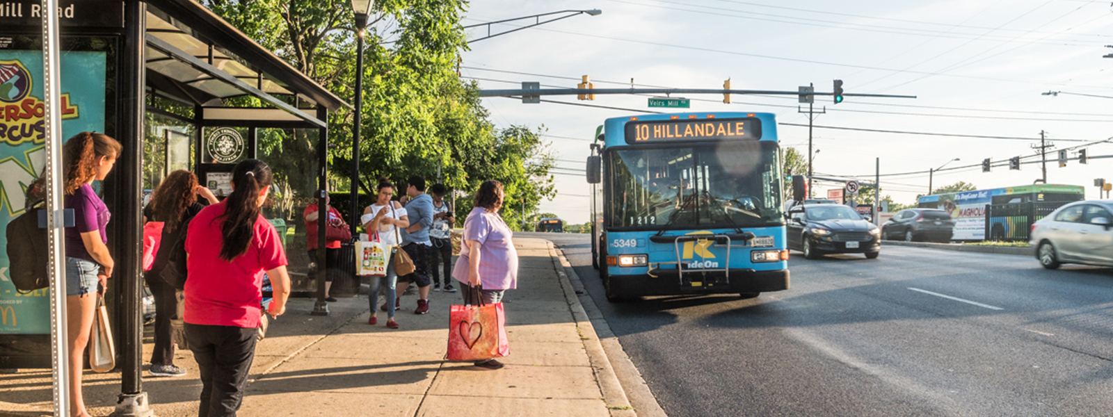
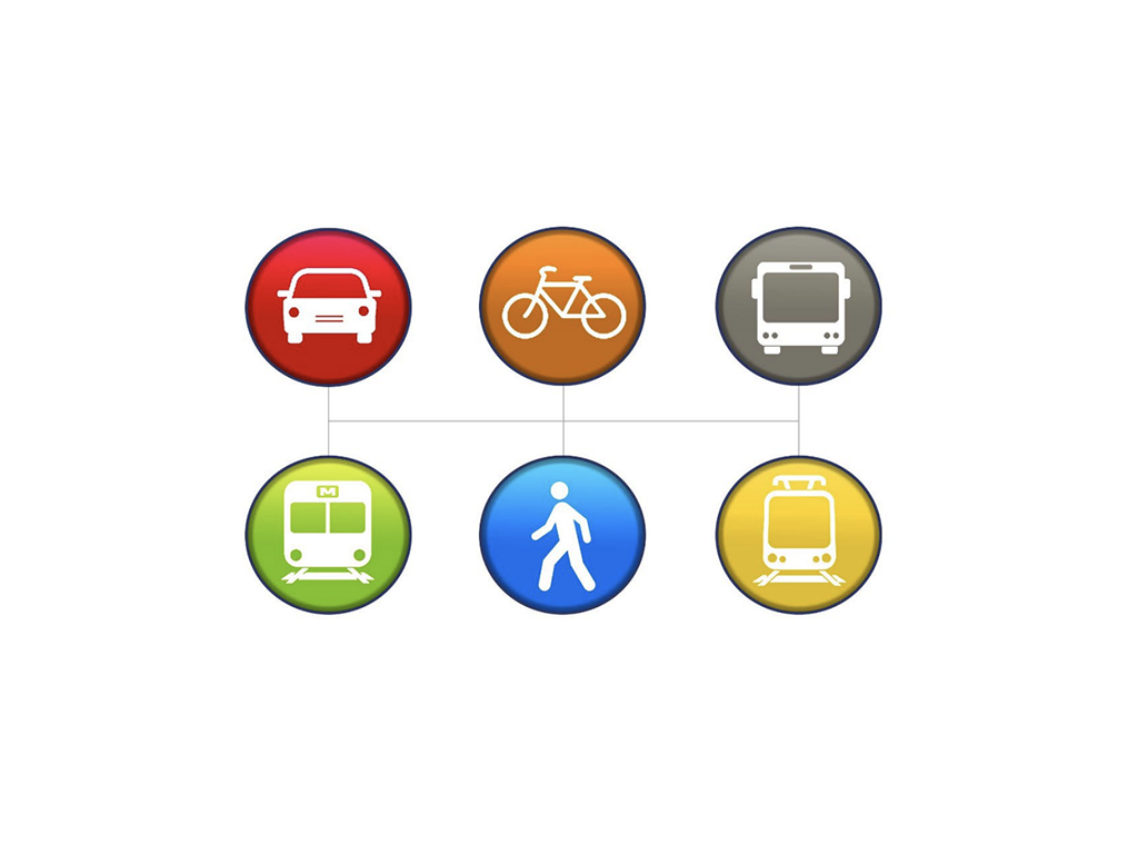
Skip to Navigation | Skip to Content
menu


Providing connectivity for all users.

Transportation

Transportation planners in the Functional Planning and Policy Division:

  • Prepare detailed analyses of transportation issues and improvements needed to support expected growth during master plan preparation
  • Manage the adequate public facilities ordinance
  • Provide information about the transportation system as well as planned improvements
  • Develop the biennial Mobility Assessment report
  • Play an integral role in developing recommendations for the biennial Growth Policy, which matches services like transportation with new development
  • Update the Board on the status of the Intercounty Connector, with particular attention on design, parkland and stewardship issues
  • Provide advice on high-profile public works projects, such as the Purple Line and the Silver Spring Transit Center

Latest Projects

Countywide Transit Corridors

Bus Rapid Transit Study MapPlanners are working on a functional plan on countywide transit corridors to improve accessibility and mobility throughout Montgomery County. The transit corridors study will recommend corridors for inclusion in the Master Plan of Highways, based on projected ridership, as well as identify right-of-way needs.

Purple Line

Purple Line Functional Plan cover Download the approved and adopted Purple Line Functional Plan (17MB), a series of recommendations for the proposed transit line’s route, mode and stations. More.

2011 Mobility Assessment Report

Mobility Assessment Report cover Montgomery County's traffic congestion has remained at the same level for the past two years, according to the 2011 Mobility Assessment Report, a bi-annual study by county transportation planners that monitors local transportation trends.

Bicycle Heat Map

Bicycle Heat MapTransportation planners have drafted a Bicycle Heat Map to help the Planning Board and other policy-makers prioritize where to invest in bicycle routes and support facilities. The tool predicts where demand for bike commuting, errands, or other non-recreation trips is greatest. Learn more

Base Realignment and Closure (BRAC)/National Naval Medical Center

BRAC mapThe National Naval Medical Center in Bethesda is undergoing expansion as part of the federal Base Realignment and Closure (BRAC) process. State and county transportation agencies are undertaking nine transportation studies and projects to alleviate the impact of the medical center expansion. On July 22, the Planning Board will review four of those transportation projects as mandatory referrals, which provide the Board an opportunity to make recommendations to the appropriate agency for consideration. Learn more

Intersection Analysis Application

Intersection Application Map Planners have posted an interactive, user-friendly intersection analysis for anyone interested in countywide intersection traffic counts, and critical lane volumes.

Corridor Cities Transitway

State transportation officials are studying a new transit line — the Corridor Cities Transitway (CCT) — that would extend from the Shady Grove Metrorail Station to Clarksburg. The CCT could become bus or light rail service serving the I-270 corridor. Planners, who see the CCT as a lynchpin for community plans in Germantown and Gaithersburg West, use the CCT station as focal points for clustering houses, jobs, and retail near transit to support uptown activity centers and lessen reliance on automobiles.

2013 LATR/TPAR Guidelines

LATR Guidelines CoverLATR/TPAR guidelines help ensure that development in Montgomery County is accompanied by appropriate, sufficient transportation facilities. The Planning Board and planning staff use the guidelines to estimate the impacts of development on the transportation network and determine effective ways to mitigate that impact. Learn more and download guidelines

Subdivision Staging Policy

Montgomery County’s Subdivision Staging Policy guides the timing of development and the provision of adequate public services. The policy implements a 1973 law, the Adequate Public Facilities Ordinance, that directs development to areas where public services are in place. The Planning Board helps ensure basic amenities like hassle-free roads and uncrowded schools  for current and future residents through the Subdivision Staging Policy, which guides matches growth to the availability of public services like transportation and schools.

Date of last update: March 27, 2013