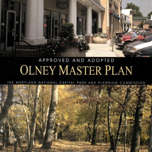
Approved and Adopted April 2005
The goals of the Master Plan are to:
- Reinforce the concept of Olney as a satellite community in the residential and agricultural wedge area.
- Protect the Patuxent watershed including the drinking water reservoir, and agricultural and rural open space.
- Protect the low-density character of the Southeast Quadrant.
- Provide a wide choice of housing types and neighborhoods for people of all income levels and ages at appropriate densities and locations.”
View the Olney Master Plan (2005) [pdf, 12 MB]
The complete document is represented by the index below:
- Council Resolution
- Abstract & Table of Contents
- List of Figures
- Location Map
- Planning Concept
- Regional Location
- Geographic Areas
- Rural Communities
- Proposed Southeast Quadrant Concept
- Specific Properties
- Town Center Context
- Town Center Concept
- Town Center Existing Zoning
- Town Center Proposed Zoning
- Town Center Pedestrian and Bicycle Circulation Concept
- Watersheds
- Forest Preservation Priorities
- Biodiversity Areas Within Parkland
- Green Infrastructure
- Stream Quality
- Stream Management Strategy
- Special Protection Area
- Roadway Network
- Bikeway Network
- Existing and Proposed Parkland
- Countywide Park Trails Network
- Historic Resources
- Community Facilities
- Public Schools
- Southern Olney Existing Zoning With Recommended Changes
- Sewer Service Areas
- Legacy Open Space Recommendations
- List of Tables
- Senior Housing Facilities in the Olney Area
- Evaluation of Interim Rustic Roads
- Roadway Classifications
- Proposed Bikeways
- Existing Public Schools in the Olney Master Plan Area
- Recommended Zoning Changes
- Properties with Proposed Parkland Acquisition
- Legacy Open Space Recommendations for Class III (Appendix D) Sites
- Natural Resources and Legacy Open Space
- Summary
- Background and Content
- Introduction
- Planning History
- Population Profile
- Challenges Ahead
- Land Use Plan
- Introduction
- The Land Use Plan
- Olney as a Satellite Town
- Northern Olney
- Rural Communities
- Southeast Quadrant
- Specific Property Recommendations
- Protection of Existing Communities
- Town Center Plan
- Introduction
- Major Issues
- Proposed Concept
- Mixed Land Use
- Civic Center and Town Commons
- Pedestrian Circulation
- Urban Design
- Housing Plan
- Introduction
- Affordable Housing
- Senior Housing
- Environmental Resources Plan
- Introduction
- Habitat Resources
- Forest Resources
- Wetland Resources
- Biodiversity Areas
- Green Infrastructure and Greenways
- Water Resources
- Air Quality
- Noise
- Transportation Plan
- Introduction
- Travel Forecasting
- Road Network
- Major Highways and Arterial Roadways
- Intercounty Connector/Western Connector
- Georgia Avenue Interchange with Norbeck Road
- Norbeck Road
- Brookeville Bypass
- Old Baltimore Road
- Bowie Mill Road
- Cashell Road
- Heritage Hills Drive
- Two-Lane Road Policy
- Residential Streets
- Cherry Valley Drive Extended
- Town Center Roads
- Appomattox Avenue
- Buehler Road
- Spartan Road
- Hillcrest Avenue
- North High Street
- Southeast Quadrant Roadway Network
- Rustic Roads
- Batchellors Forest Road
- Brighton Dam Road
- Triadelphia Lake Road
- Local Intersection Improvements
- Public Transportation
- Georgia Avenue Busway
- Roadway Network and Functional Classification
- Bikeway Network
- Parks and Recreation Plan
- Introduction
- Recreation Opportunities
- Resource Protection
- Trail Corridors
- Historic Resources Plan
- History of Olney
- Protection of Historic Resources
- Community Facilities Plan
- Schools
- Olney Library
- Public Safety
- Olney Post Office
- Olney Theatre
- Implementation Plan
- Introduction
- Zoning
- Redevelopment of Town Center
- Mixed-Use Town Center (MXTC) Zone
- Advisory Committee
- Civic Center
- Staging
- Environmental Resource Protection
- Community Sewer Service
- Community Water Service
- Summary of Parkland Recommendations
- Legacy Open Space Recommendations
- Appendices
- Appendix A: County Council Resolution
- Appendix B: M-NCPPC Resolution of Approval and Adoption